
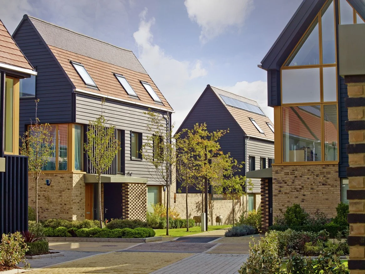
Kings Dene: Addressing key questions
-
Kings Dene is being planned alongside significant transport infrastructure improvements, including a new link road between Coggeshall Road and the A12, a new grade-separated A12 junction, improved access to Kelvedon railway station, enhanced bus connectivity and new walking and cycling routes. These measures are intended to provide alternative routes, improve transport choice and reduce pressure on existing constrained routes such as Kelvedon High Street and London Road. The transport evidence is also being tested without reliance on the previously proposed A12 widening scheme.
-
Kings Dene is being planned as an infrastructure-led development, with new schools, healthcare facilities, community hubs, transport improvements and open spaces forming part of the overall masterplan. The proposals include a new secondary school, up to three primary schools and new healthcare provision. Infrastructure delivery would be supported through a coordinated phasing strategy and secured through planning permissions and legally binding agreements.
-
The masterplan intends to create a distinct and well-defined new community while maintaining meaningful separation from surrounding settlements. More than 300 hectares of landscape infrastructure, including a country park, public open space, green corridors and landscape buffers, would help create strong development edges and protect the wider countryside setting.
-
The proposals include a comprehensive approach to water management through sustainable drainage features such as ponds, swales, attenuation basins and green corridors. Detailed technical work will be required to demonstrate that development would not increase flood risk elsewhere and that drainage arrangements can be maintained in the long term. Sewage and water-supply capacity, together with any necessary upgrades, will need to be agreed with the relevant providers before development proceeds.
-
Kings Dene has the potential to deliver a sustainable new community by bringing together homes, jobs, schools, healthcare facilities, shops and services planned together. Around 40 hectares of employment land, together with improved walking, cycling and public transport links and direct rail connections, would help new and existing residents meet more everyday needs locally and create a more connected place rather than car-dependent housing extension.
-
The proposals are intended to make sustainable travel a practical choice through improved public transport, enhanced access to Kelvedon Station and a comprehensive network of walking and cycling routes. By locating homes close to schools, jobs, healthcare and other services, the development aims to reduce reliance on private vehicles. A detailed air quality assessment will also be undertaken to assess existing conditions and identify any mitigation measures that may be required.
-
The masterplan has been designed around the site's existing landscape and habitat network, with important ecological features retained and connected wherever possible. Detailed surveys will identify the habitats used by protected and notable species, including those reported locally such as bats, dormice, water voles, otters, badgers, hares, skylarks, yellowhammers, barn owls and other birds of prey. The findings will inform measures to avoid, mitigate or compensate for impacts. New woodland, wetlands, ponds, green corridors and habitat areas would be delivered as part of more than 300 hectares of landscape infrastructure.
-
A substantial body of work has already been undertaken to assess transport, infrastructure, environmental matters and viability at a strategic level. Further work will continue on matters such as transport modelling, infrastructure funding, phasing and delivery responsibilities. Any future planning applications would need to be supported by technical evidence and enforceable commitments demonstrating that essential infrastructure can be delivered alongside development.